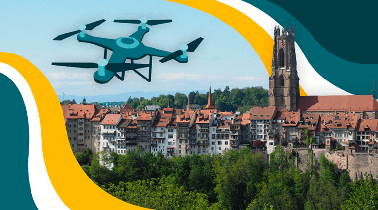
What are the responsibilities of Fribourg’s cadastral department?
Frédéric (Cadastral Department) : The City of Fribourg’s cadastral department is responsible for managing the properties on its territory, including the associated rights and charges. It ensures rigorous monitoring not only from a cadastral point of view, but also in terms of addressing buildings and nomenclature. It also contributes to the development of numerous urban planning projects by collecting and exploiting external data or by acquiring topographical elements.
A mapping desk has been set up and is managed by a specialist team within the cadastral department. Data distribution is ensured while offering solutions adapted to requests.
OK, so what were the reasons for acquiring a drone?
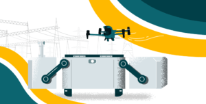
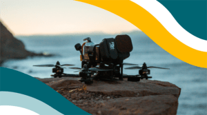
Frédéric (Cadastral Department) : I was hired by the city with the task of acquiring a drone to carry out cliff monitoring and surveillance missions. It was essential to have a reliable, accurate and versatile device, with a long range and good resistance to wind and sub-zero temperatures.
DJI’s Matrice series won the specification comparison against products in DJI’s Mavic or Phantom range, and demonstrated greater versatility of use than products such as fixed wings or multicopters from other manufacturers.
Why didn’t you acquire this data using aeroplanes or other conventional data acquisition methods?
Frédéric (Cadastral Department) : Our primary aim was to monitor the cliffs. In the event of an incident, we needed to be able to intervene as quickly as possible to analyse the situation and enable the town’s geologist to take the right decisions to make the area safe. With a drone, we are no longer dependent on the availability and deadlines of our flying partners. Staff safety was also an important issue. The cost of flight operations is also to the drone’s advantage.
The cadastral department uses this aircraft and it is also very often used to carry out mapping missions, for example to represent road markings. Overall, we’ve seen a considerable saving in time and money. The equipment very quickly paid itself off.
So if I understand correctly, the primary aim was to monitor cliffs, but you now use it for many other tasks. What tasks have you used the drone for since 2020?
Frédéric (Cadastral Department) : For the needs of the cadastral department, we have replaced some of our ground surveys with aerial acquisition. Examples include determining road markings, which are constantly changing, or monitoring the implementation of certain urban projects. With photogrammetry and orthophoto production, we can easily obtain information, and we verify the state of the cadastral database following construction work in order to update it.
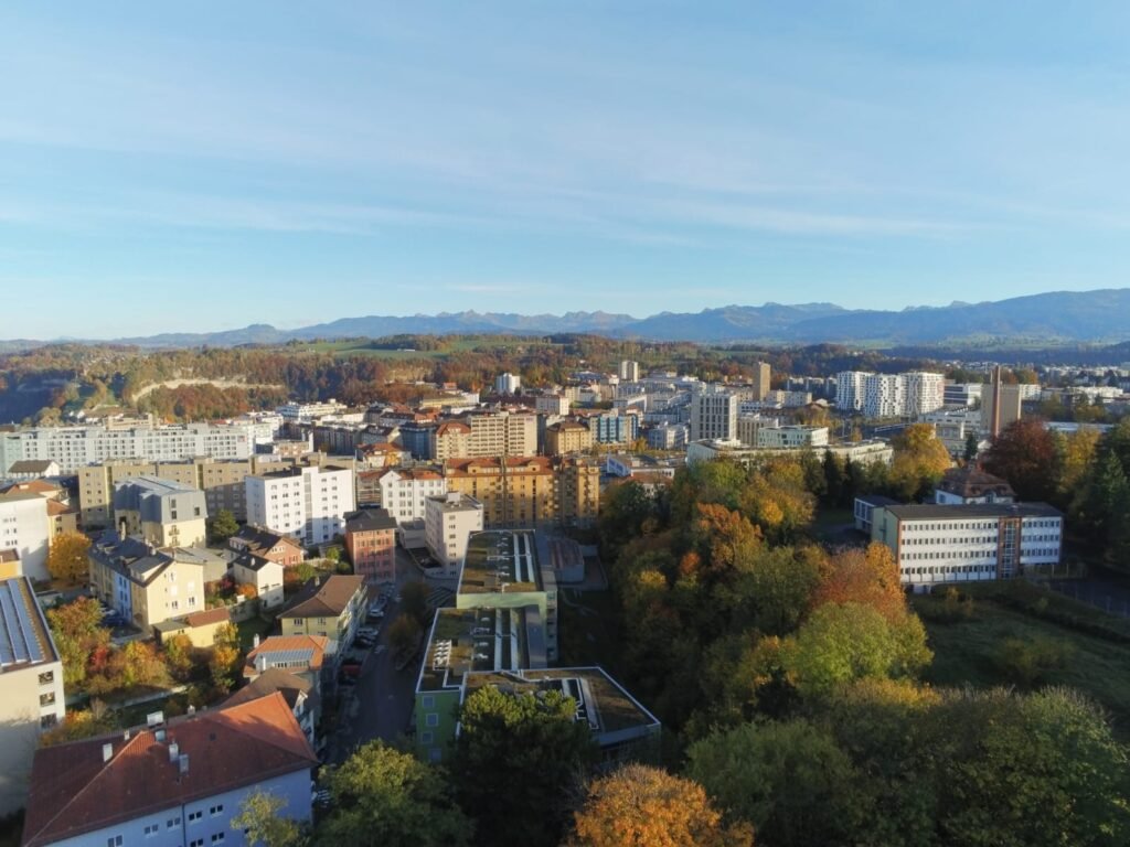
What is an orthophotography and what advantage does an orthophotography made with the Matrice 300 have over other orthophotographies such as those produced by swisstopo?
Frédéric (Cadastral Department) : An orthophotography or orthophoto is a 2D raster image from an aerial view that can be georeferenced to match the cadastral map perfectly. The perspective effects of the initial photo are removed, which means that distances can be measured directly on the product.
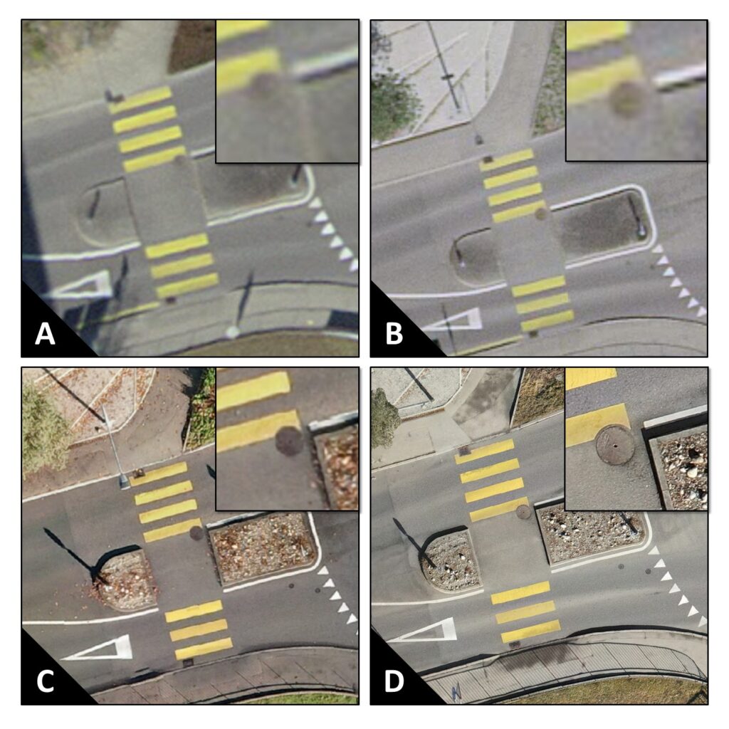
The main advantage of the Matrice 300 in this context is its resolution! Swisstopo’s Swissimage orthophotos are fantastic, they cover the whole country and the results are excellent. However, they are acquired by plane at a much greater distance from the ground. With a drone, we fly very close to the ground at a maximum of 120m and the image detail is further increased. We’ve drawn up a visual comparison to help you appreciate the difference:
The result of our product is HD (High Definition), which offers an extra level of detail and therefore a wider range of possibilities. The 2023 campaign is underway and will offer a UHD (Ultra High Definition) result, while preserving any sensitive data.
Interesting and is it worth the effort? What can you do with this orthophotography?
Frédéric (Cadastral Department) : In our day-to-day work, we use orthophotos a lot, for a variety of purposes ranging from simple consultation to terrain assessment and the use of specific data. We need to see the product as a working tool that is accessible to everyone. Each user can retrieve his or her own information, and it was with this in mind that we decided to launch this project.
In practical terms, we need to cover the entire area to carry out a general check of our cadastral database. With all the work going on in the city, a lot of cadastral elements are impacted and unfortunately not everything is relayed to us so that we can update the plans. With automatic detection by AI, we can detect conflicts and deal with cases so that we can gradually return to an up-to-date situation.
Another interesting requirement is that we have been able to use the 3D data from the orthophoto calculation to determine a 2022 model of the canopy in the city. This data is then processed by other players in the city.
What camera did you use to produce the orthophotography of the city of Fribourg, and how accurate was it?
Frédéric (Cadastral Department) : For the first edition of our “2022_VFR_ORTHO_3cm” product, we used the DJI Zenmuse H20T’s 12MP wide-angle camera to photograph the entire country. With a flying height of 80m on the ground, we obtained one pixel for every 3cm on the ground. This in itself represents excellent image resolution for such a large area. Today, with new equipment, we have improved the resolution to 1.2 cm per pixel.
What difficulties did you encounter when taking the orthophotos?
Without hesitation I would say the very particular topography here in Fribourg, as well as the engineering structures. With several cliffs and bridges in the meanders of the Sarine, we had to carry out safety tests to ensure the smooth operation of the automated flights.
We had to understand how the drone worked and how it behaved on steep slopes. We then created our own Digital Terrain Model (DTM) to enable the drone to operate in a safe environment.
Another important point was visual contact. A thorough knowledge of the city was imperative in order to find the right spots to take off from and where we could keep the aircraft in constant visual contact. Obstacles cause us to lose the signal with the drone. The solution was to gain access to the roofs of dominant buildings, and this proved effective.
And of course the legal aspect also took us some time. As a public authority, we have a duty to be blameless and we are fully committed to this. Every flight is announced to the local police, who relay the information to the cantonal police. In addition, requests for authorisation are made to the State of Fribourg for the applicable no-fly zones, in accordance with well-established procedures.
You’ve recently taken the necessary steps to be able to fly under the new European regulations in Switzerland. What were the challenges involved?
Frédéric (Cadastral Department) : Despite our piloting experience, the first challenge was to list the practical requirements of the new law, and above all to understand how to find a solution that suited our needs.
Another challenge was to apply a series of measures to minimise the risks on the ground while retaining maximum scope for the variety of tasks we could perform with the drone. With the help of UASolutions Sàrl, the process became easier to digest and we were soon able to find the right compromises for obtaining a permit to fly the drone in the city.
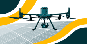
Why do you think drones could be useful in the future?
Frédéric (Cadastral Department) : In the future, I have high hopes of developing thermal monitoring of solar installations and building heat loss for the city of Fribourg.